
The above hydrograph shows the usual winter pattern when autumn rains decrease through the end of the year as temperatures drop and precipitation decreases or changes to snow. We can see that after January 8th, the streamflow levels are mostly decreasing until the moderately-sized peak on the 26th. The long period of decreasing flows in January indicates that temperatures have been cold with little or no rainfall until the 26th. However, it has mostly been dry and cold without snow in the Niigata region, and snowpack levels remain extremely low. The rain-on-snow peak flow on the 26th was caused by daily rainfall of 26.5mm (maximum intensities of 4.5mm/h), and temperatures reaching 8-9 degrees C leading to some snowmelt.
In the photos below we are doing snow survey to measure the snow depth and snow water equivalent in locations where we have also installed snow lysimeters. Snow depths are very low this year, with only about 55cm at the larch site, 35cm at the mature cedar site, and anywhere between 30 and 82cm at the young cedar site which has very uneven snow depths due to the canopy interception processes.
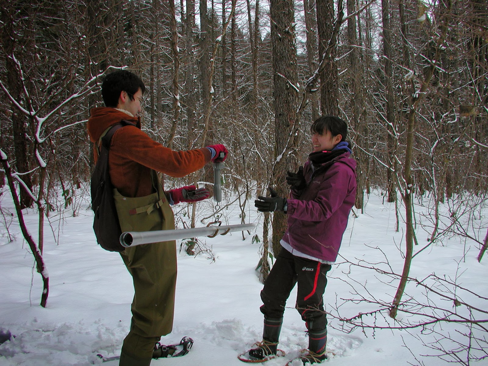 |
| Snow survey at the larch site (depth = 55cm) |
 |
| Snow survey at the young cedar site (depth = 30-82cm) |
 |
| Larch site lysimeter, with relatively uniform snow depth |
 |
| Mature cedar site lysimeter, with outline of lysimeter trays visible |
 |
| Young cedar site lysimeter showing the mounding of the snow between the trees, with very shallow depths close to the tree trunks |
No comments:
Post a Comment
Note: only a member of this blog may post a comment.