 |
| Stage = 44cm, Ta and Tw = 12.5C |

About once a year I make sure to walk the course of the river upstream of the gauging point to survey the general conditions of the river channel. In particular I'm looking for evidence of recent channel change and bank erosion, and any other potential sources of sediment. This helps us to understand changes in the channel such as aggradation and degradation at the gauging point, and also changes in the H-Q rating curve.
Today we walked about 2km upstream to a landslide zone where an unstable hillslope is feeding fine gravel bedload sediment and silt and clay suspended sediment to the channel. Although the channel is gravel and boulder bed in character, there are many locations where the channel is confined by bedrock. Overall the impression we get is of a very stable channel with very little evidence of bank erosion, until we arrive at the landslide zone. However, we can see many zones of fine gravel sediment storage to indicate the continuing influence of the landslide in the channel sediment budget.
 |
| Stable step-pool reach |
 |
| Temporary storage of fine gravels from the landslide zone |
 |
| This meander cut-off formed in 2005 (previously cedar forest) |
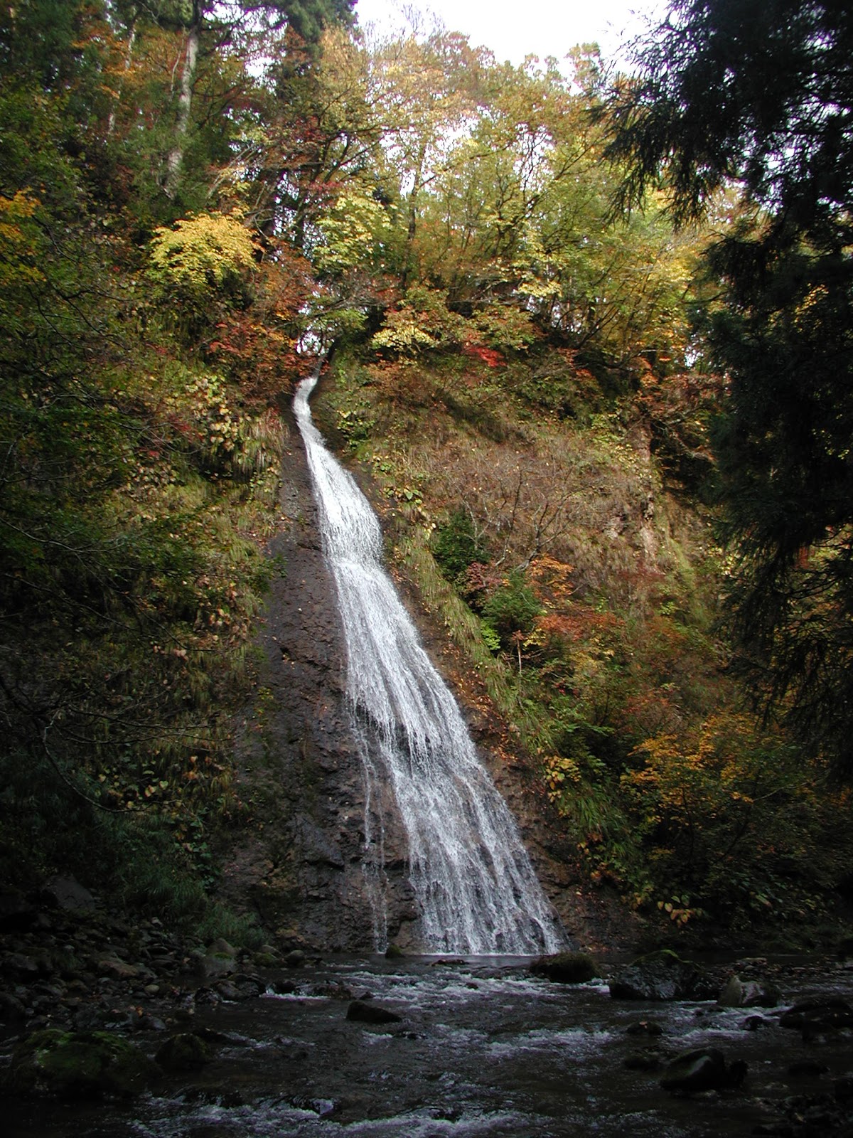 |
| Tributaries often join the main channel via waterfalls |
 |
| Stable boulders form step-pools |
 |
| Groundwater seep at the landslide zone |
 |
| Slope materials are fine angular gravels and also a grey silt/clay |
 |
| Falling trees indicate active landslide zone |


