Tuesday, 26 January 2016

El Nino delays winter

Stage = 39cm, Ta = 2.0C, Tw = 3.3C

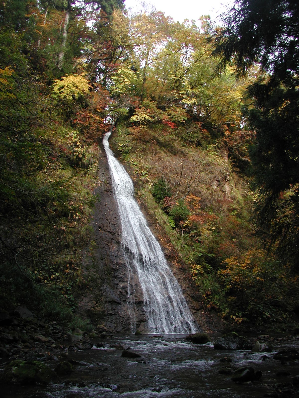
Heavy snows over the last couple of days signaled the start of mid-winter conditions and seasonal snowpack at all elevations in the basin. The formation of low elevation snowpack is about a month later than an average winter, mainly due to the strong El Nino effect and unseasonably warm temperatures at the start of this winter season.

Larch forest lysimeter site - checking and cleaning drainage

Snow survey at the larch forest lysimeter site showed there to be about 67cm depth of snow, with a snow density of about 0.25 giving a snow water equivalent of 16.5cm. Typically there would be more than a metre of snow depth by the end of January, with a density of more than 0.3 for an older snowpack. The snowpack was temporarily removed around the lysimeter tray drains to clean and confirm free drainage of the trays. For the larch site and tributary cedar site free drainage was confirmed, while at the lower cedar site I found 2 of the 3 trays to be blocked. Unfortunately a blocked drain means the runoff cannot be determined accurately up to that date, but after cleaning the lysimeter should drain freely for the rest of the winter season.

Free drainage condition confirmed in one of the trays

Snow depths at the upper (100m higher elevation) tributary cedar site were similar to the larch site, while the snow depths at the lower cedar site were the least at about 46cm due to snow interception (sublimation and melt-drip loss) in the mature canopy.

The stage hydrograph below shows a moderate peak around early New Year due to heavy rain. With continued cold and snowy conditions we expect the flow to decrease steadily towards a winter low-flow condition. However, ground-melt at the base of the snowpack and minimal evaporation loss will keep the flow level higher than the summer low-flow condition.


Monday, 25 January 2016

River scene time-lapse


This time-lapse video shows the period from 2-25 January 2016 during which several rainfall and snowfall events occurred. By the end of the video, the seasonal snowpack has finally accumulated, about three weeks later than average.

Monday, 21 December 2015

Barely any snow yet

Multiple small peaks due to rainfall - barely any snow yet this winter season

Wednesday, 11 November 2015

Flow velocity measurement by radar


eTrust Co., Ltd. kindly set up a demonstration of flow velocity measurement by radar at our field site today. A representative from Yokogawa demonstrated an instrument called "Ryukan", which uses non-contact radar technology to measure the surface flow velocity of a river from a bridge. This is extremely useful when rivers are in flood and conditions are too dangerous for the use of conventional flow meters, especially when sediment loads are high and floating debris is a hazard.


The range of flow velocity which can be measured with the instrument is 0.5 m/s to 20 m/s. The sensor is angled at between 30-40 degrees from horizontal, and can be set up in either upstream or downstream directions. With the instrument set up at about 5.5m above the water surface, the target sampling area is elliptical measuring about 1.6m in width and 2.6m in length.

Stage = 51cm, Ta = 10.5C, Tw = 12.5C
We concurrently made a typical discharge measurement using an electromagnetic flow velocity meter and compared measurements made just below the surface with those taken by the radar meter. Even though flow velocities today were at the lower limit of the measuring range for the radar meter, it was impressive how similar the readings were to the sensor in the water. At higher flood stages for which the radar meter is intended, the data recorded is likely to be of much higher accuracy. The radar meter needs roughness elements on the surface of the water, such as ripples and waves, to allow it to obtain an accurate reading.


Wednesday, 28 October 2015

Landslide influences upstream

Stage = 44cm, Ta and Tw = 12.5C


About once a year I make sure to walk the course of the river upstream of the gauging point to survey the general conditions of the river channel. In particular I'm looking for evidence of recent channel change and bank erosion, and any other potential sources of sediment. This helps us to understand changes in the channel such as aggradation and degradation at the gauging point, and also changes in the H-Q rating curve.

Today we walked about 2km upstream to a landslide zone where an unstable hillslope is feeding fine gravel bedload sediment and silt and clay suspended sediment to the channel. Although the channel is gravel and boulder bed in character, there are many locations where the channel is confined by bedrock. Overall the impression we get is of a very stable channel with very little evidence of bank erosion, until we arrive at the landslide zone. However, we can see many zones of fine gravel sediment storage to indicate the continuing influence of the landslide in the channel sediment budget.

Stable step-pool reach

Temporary storage of fine gravels from the landslide zone

This meander cut-off formed in 2005 (previously cedar forest)

Tributaries often join the main channel via waterfalls

Stable boulders form step-pools

Groundwater seep at the landslide zone

Slope materials are fine angular gravels and also a grey silt/clay

Falling trees indicate active landslide zone

Wednesday, 7 October 2015

Typhoon season

Stage = 37.5cm, Ta = 13.4C, Tw = 12.6C
Generally the Niigata area (and the Japan Sea region) is not influenced as strongly by typhoons as the Pacific coastal region. Southwestern Japan is more severely affected by typhoons as they normally make landfall on the Pacific coast, but once in a while a typhoon will track up over the Japan Sea and make landfall in northern Japan.

This year fine autumn weather continues most days in the period shown in the hydrograph below, but the moderate peak on 2 October was due to a powerful storm - the remnants of a typhoon system moving up the Japan Sea. At the Takane Amedas gauge, over 50mm of rainfall occurred during 1-2 October with maximum intensity of 17.5mm/h.


Crystal clear water at the gauging cross-section

Staff gauge needs to be put straight one of these days

Wednesday, 16 September 2015

Wet September start


Unsettled weather during the first half of September has raised the soil and groundwater levels. The hydrograph below shows repeated peaks, building in size up to a small peak flow event on 11 September (55mm precipitation over 10-11 Sep.).


Today's fieldwork included taking a velocity profile in the centre of the channel (see figure below), where the flow depth was 24cm. We could confirm that the mean flow velocity in the vertical profile occurs at the depth of 0.6 x depth (measured from the surface). The USGS wading rod that we use makes this assumption in setting the representative depth at which to take a single velocity measurement in each vertical profile.